A mountain rescue
A dirt bike crash and a teenager with a compound leg fracture. This is just one harrowing scene among countless mountain rescues the Phoenix Fire Department Regional Dispatch Center navigates daily, all with the help of Motorola Solutions’ Radius Mapping.
Jonathan Keeling, Fire Communication Supervisor, recalls, “For this patient with the compound fracture, the helicopter we dispatched was able to locate the patient using the information from RapidLocate. We were able to drop the technicians from the helicopter within about 10 meters of the crash site, even before the crews arrived.”
The scale of response
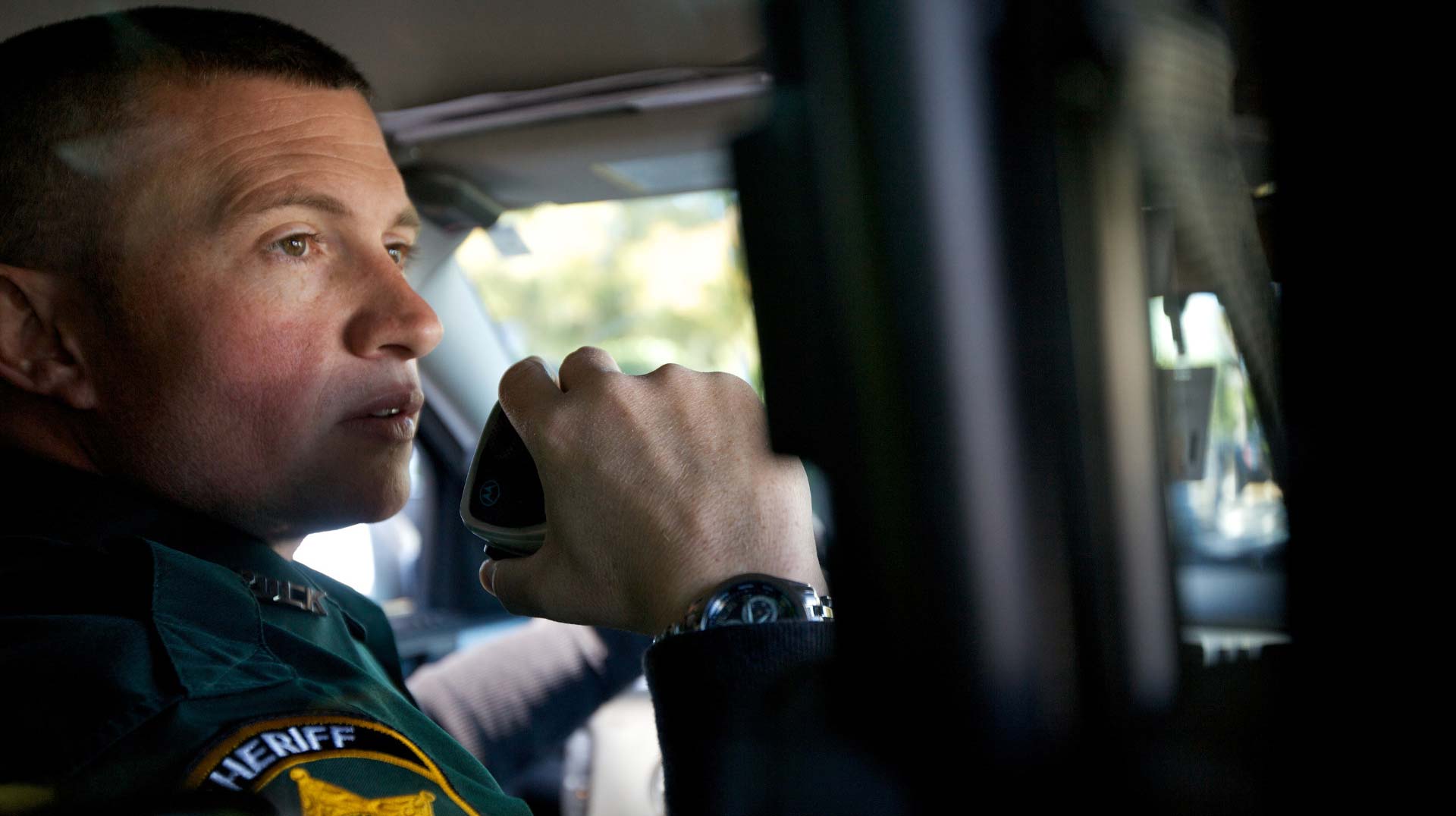
Phoenix Fire Department Regional Dispatch Center, a secondary PSAP to the City of Phoenix 9-1-1, is the second largest fire dispatch center in the U.S., trailing only FDNY, the Fire Department of the City of New York. Phoenix Fire handles 240,000 emergencies annually across 26 jurisdictions, 517 square miles, 28,000 hydrants and 761 miles of trails.
Jonathan, an Arizona native, who has been with Phoenix Fire for 10 years, says mountain rescues are a regular occurrence, no matter the time of year. “Arizona is known for having 330 days a year of sunny weather, so we get a lot of traffic on the mountains.” This includes hikers and bikers. Mountain rescues represent a primary use case for Radius Mapping, where it serves as a central tool in nearly every incident.
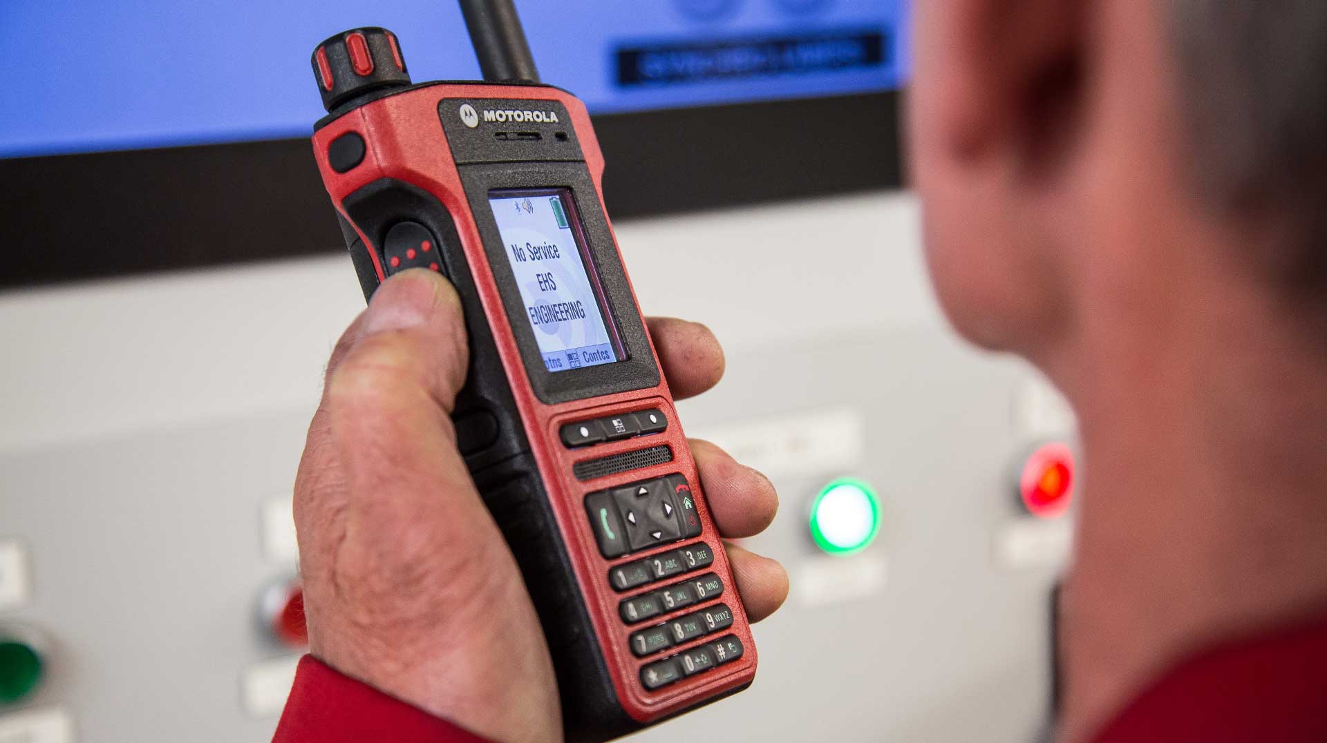
RapidLocate, one of the key features of Radius Mapping, pinpoints a 9-1-1 caller’s precise location by integrating authoritative GIS, mobile signals and supplemental data sets. The dispatcher can send a text message with a link to the caller’s phone. When the caller clicks the link, their phone transmits their GPS coordinates back to the 9-1-1 system. As a result, RapidLocate improves response times by giving emergency responders a precise location, even in remote mountainous areas.
Jonathan shares another example: a man lost on top of South Mountain, a mountain range in Phoenix, off-trail and in the dark. “Using RapidLocate, we got a 25-meter cell phone ping. We had no idea where he was, but with the RapidLocate information, we sent crews to the area and found him.”
From first use to full adoption
Phoenix Fire deployed Radius Mapping for the 2023 Super Bowl. Since then, both the functionality and number of users have increased. What began with RapidLocate has now grown into daily use of Radius Mapping – GIS (Geographic Information System) layers for brush fires, thermal imagery and cross-jurisdiction awareness.
“RapidLocate is hands down the most valuable feature,” Jonathan emphasizes. “It provides our dispatchers the most help in getting the right resources to the patient. So while we’re sending crews up the mountain, we can text the patient to stay by their phone and expect a call from the command, for example.”
But now Phoenix Fire is seeing many other uses such as the map’s GIS layers that provide a comprehensive view of geographic and situational data to quickly locate callers, understand the environment and guide response efforts. “We use the layers for brush fires and other types of incidents.” comments Jonathan. “We can turn on layers for thermal imagery and see, for example, if there’s an existing brush fire outside of our jurisdictions.”
In terms of getting everyone up to speed, everyone on the team, over 100 people, are trained on the features and functionality of Radius Mapping. The secret? A simple, 10-minute Radius Mapping training video, walking the dispatchers through the necessary features. “The software is pretty intuitive, so our teams caught on quickly,” says Jonathan.
Impact and importance
For Jonathan, the heart of his work is simple, “I think everyone here enjoys helping people and that’s why we do public service,” he explains. “It doesn’t matter to me whether I’m helping a citizen that’s calling 9-1-1, another dispatcher that’s asking me a question, or another agency asking for a resource. My goal is always to provide help in the best way that I can.”
For Phoenix Fire, Radius Mapping is essential. “If we had to go without it, dispatchers would be distraught,” Jonathan admits, “especially with mountain rescues and off-roaders. Knowing we’re sending help to the right location—that’s invaluable.”
With Radius Mapping, Phoenix Fire dispatchers aren’t just taking calls—they’re guiding hope, precision and survival across the Arizona desert.